


R3910.00
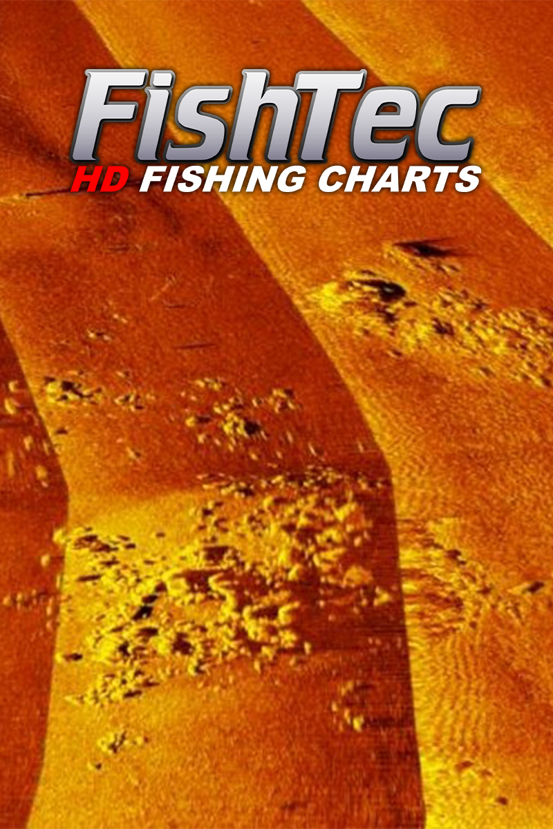
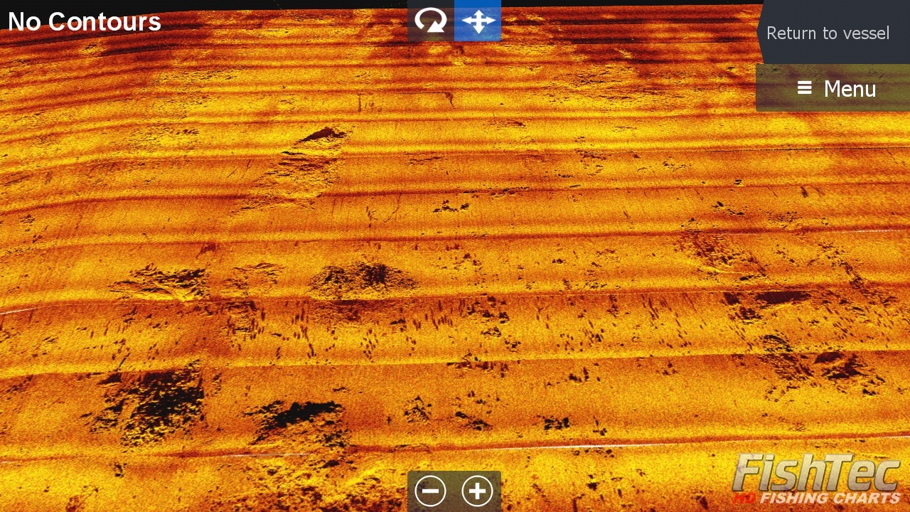
Contours (100%) 1ft Precision, Satellite, Sediment, UltraHF Mosaic (SideScan), Panoramic Photos, Bottom Hardness and Shaded Relief views.
Lead time on delivery within South Africa is approximately 3 to 7 working days.
All FishTec charts are provided on a security-encrypted Micro SD card with a standard SD card adapter.
A FishTec high definition fishing chart provides detailed information about the body of water, allowing you to more effectively plan your fishing strategy by easily identifying potential fishing spots both before you get onto the dam and while on the water.
COMPATIBILITY:
Lowrance: HDS Pro, HDS Live, HDS Carbon, HDS Gen 3, HDS Gen 2 and Elite Ti, Elite Ti2 and Elite FS
Simrad: Go7 and Go9
CROSS-BORDER/INTERNATIONAL SALES AND SHIPPING: Please contact us for pricing and more information.
Lead time on delivery within South Africa is approximately 3 to 7 working days.
All FishTec charts are provided on a security-encrypted Micro SD card with a standard SD card adapter.
CHART DETAILS:
Contours (100%) 1ft Precision, Satellite, Sediment, UltraHF Mosaic (SideScan), Panoramic Photos, Bottom Hardness and Shaded Relief views.
Watch the videos for a more detailed look at what to expect from the chart.
FishTec Intro – BBWC XIX 2025 – Arabie Dam: https://www.youtube.com/watch?v=lYoYQhkvvjc&t=139s
ARABIE DAM 2025 Overview Part 1 video:* https://www.youtube.com/watch?v=P-IxyyjsAlk
ARABIE DAM 2025 Part 2 Contour video: https://www.youtube.com/watch?v=BijRM96xgqc
USING THE ARABIE DAM CHART:
Set the Genesis Live/Structure overlay (on your main menu screen) to OFF before putting the chart card into your unit.
All depth values for this chart are at 100%
Select the PAGES Button
Select CHART
Select MORE OPTIONS
Set “Orientation” to NORTH UP
Select CHART SOURCE
Select NAVIONICS
Zoom in on the Navionics map to South Africa and then zoom into the approximate location of Arabie Dam. (Explained in the Arabie Dam 2025 Overview Part 1 video)
Insert your Arabie Chart into your unit and say “YES” to any pop-ups.
Dam water level Depth compensation if the dam level is below 100%: watch from the 13.20 minute mark, Arabie Dam 2025 Part 2 Contour Video. Continue watching for how to target specific contour areas on the dam.
CHART SOURCE: ARABIE DAM:
To see the contours with satellite shoreline and sediment chart behind the contours – Chart Options – Photo Overlay – set to Full.
Under Categories – turn “line” off – to see the sediment chart without the contours on top.
CHART SOURCE UltraHFN- 2025 – North Section of the Dam
Chart Options – Photo overlay – Full
To see bottom hardness – Chart Options – Photo overlay – Land only.
To see the satellite – Chart Options – click “shaded relief” – Photo Overlay – Land Only – under Categories – turn Depth Area off.
Once you’ve turned “depth area” off, you can then toggle/change between the views by using the “photo overlay” options of “land only” and “full” to view either the satellite or UltraHF.
To access the photos – click the numbers around the edge of the dam in the section you’re interested in or use the PDF gallery function.
Where the UltraHFN comes to an end, select Chart Options and select chart source UltraHFS to move to the south section of the dam and so on.
UltraHFS – 2025 – South Section of the Dam (Instructions same as above for UltraHFN)
UltraHFR – 2022 – River Section (Instructions same as above UltraHFN)
PHOTOS:
(Explained in the Arabie Dam 2025 Overview Part 1 video – from the 13:50 minute mark)
Use the Photo PDF feature to access the gallery of all the photos on the chart. Select the Pages Button – Storage – Memory Card – Photos – Select the section (ie. North, South, River.
FishTec uses cookies to provide a better browsing experience. View our Privacy Policy to learn more.