


R3910.00
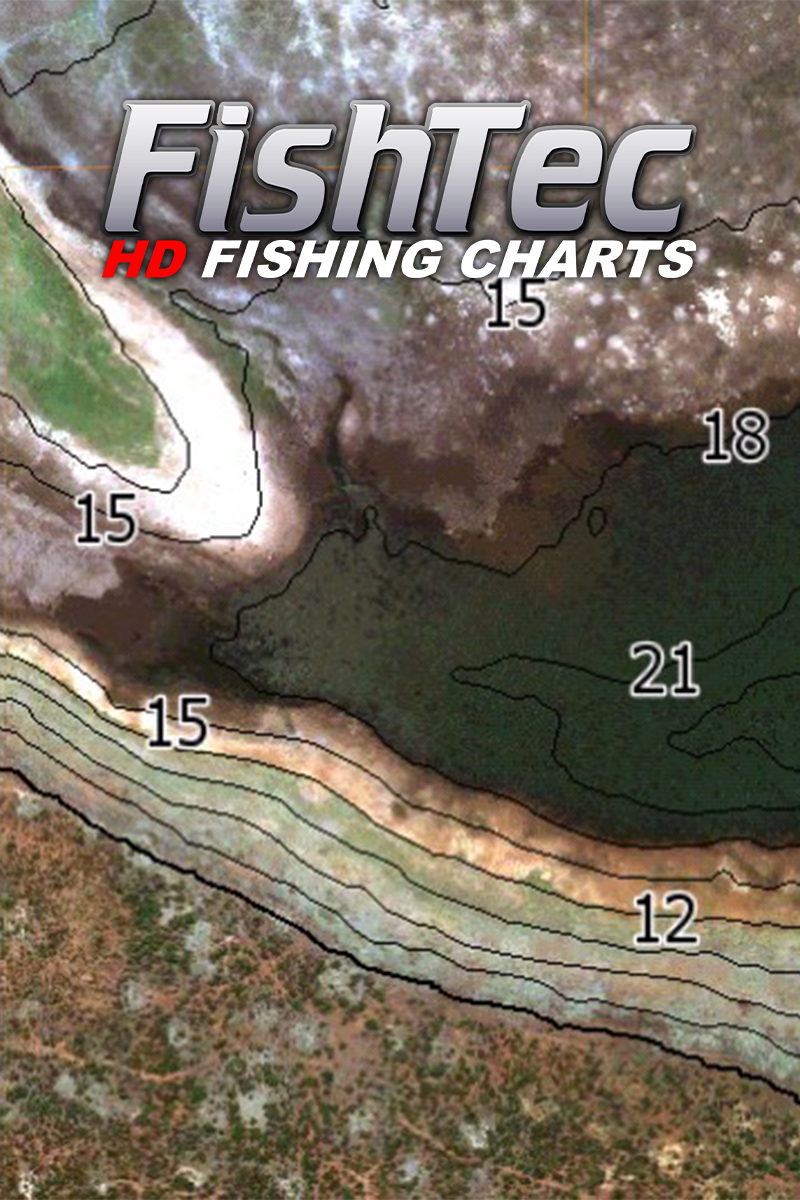
UltraHF Mosaic (SideScan), 1ft Precision Contours, Shaded Relief, Panoramic Photos, Satellite and Sediment views.
Lead time on delivery within South Africa is approximately 3 to 7 working days.
All FishTec charts are provided on a security-encrypted Micro SD card with a standard SD card adapter for use in compatible Lowrance and Simrad units only.
A FishTec high definition fishing chart provides detailed information about the body of water, allowing you to more effectively plan your fishing strategy by easily identifying potential fishing spots both before you get onto the dam and while on the water.
COMPATIBILITY:
Lowrance: HDS Pro, HDS Live, HDS Carbon, HDS Gen 3, HDS Gen 2 and Elite Ti, Elite Ti2 and Elite FS
Simrad: Go7 and Go9
CROSS-BORDER/INTERNATIONAL SALES AND SHIPPING: Please contact us for pricing and more information.
Lead time on delivery within South Africa is approximately 3 to 7 working days.
All FishTec charts are provided on a security-encrypted Micro SD card with a standard SD card adapter for use in compatible Lowrance or Simrad units only.
CHART DETAILS:
UltraHF Mosaic (SideScan), 1ft Precision Contours, Shaded Relief, Panoramic Photos, Satellite and Sediment views.
Watch the videos for a more detailed look at what to expect from the chart.
Rhenosterkop Chart update video Aug 2025: https://www.youtube.com/watch?v=XXKqN5EKp1s
Also view the March chart video for more information on using some aspects of the chart like shaded relief etc.
Rhenosterkop HD Chart video March 2025 – https://www.youtube.com/watch?v=HRjJKUOtNag
USING THE RHENOSTERKOP CHART:
For use in a compatible Lowrance unit only.
Set the Genesis Live/Structure overlay (on your main menu screen) to OFF before putting the chart card into your unit.
Select the PAGES Button
Select CHART
Select MORE OPTIONS
Set “Orientation” to NORTH UP
Select CHART SOURCE
Select NAVIONICS
Zoom in on the Navionics map to South Africa and then zoom into the approximate location of Rhenosterkop Dam.
Insert your Chart into your unit and say “YES” to any pop-ups.
For every CHART SOURCE (Satellite, UltraHF, Elevation, etc.) Select MORE OPTIONS, CHART OPTIONS, PHOTO OVERLAY. Turn PHOTO OVERLAY onto FULL.
Refer back to the videos for additional information on navigating the chart.
FishTec uses cookies to provide a better browsing experience. View our Privacy Policy to learn more.